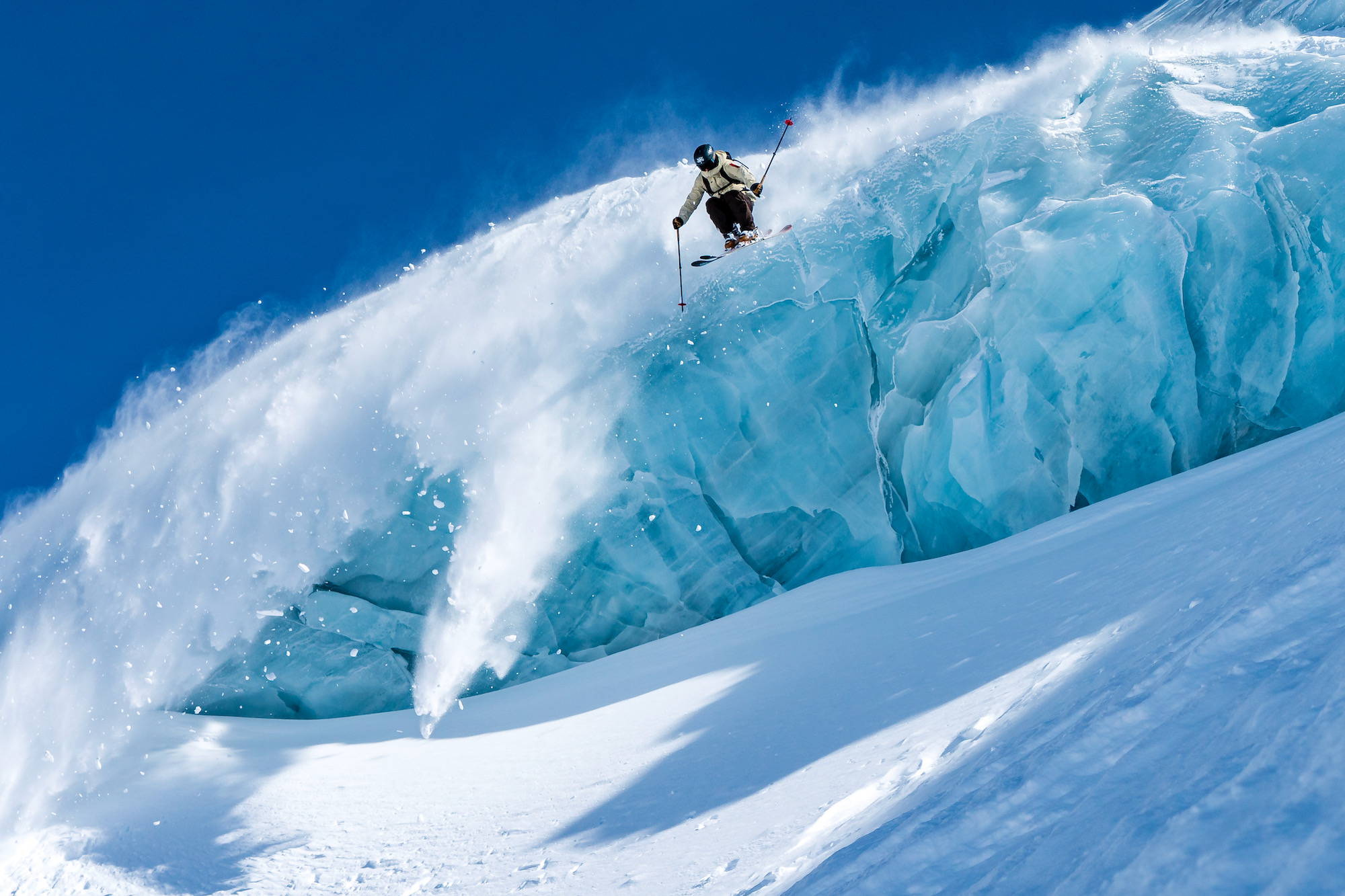
Winter just won’t quit here in Engelberg. It is currently snowing as we write, so we haven’t hung up our powder skis yet. Spring means great days in the mountains followed by good times on the terrace for aprés.


Are you considering an April spring skiing vacation in the Alps? We’re here to encourage you. There is 325 cms of snow on Titlis at the moment, with more on the way.
The Foehn
This spring we have experienced the elusive Foehn winds a number of times. We often have guests asking about it, so we figured we provide a bit of an explanation here. Essentially, the Foehn winds are just when strong winds move across mountain ranges, often reaching gale force levels. Foehns in the high alpine are distinct in that they move on both sides of the mountains, making things extra interesting. On the leeward slopes, it often brings warm and dry drafts.


Skiing with The Foehn
Why is Foehn important for planning your ski day? It is often an indication of heavy weather on the way. So if you are out on a multi-day tour, it’s a great thing to pay attention to. Also, they can be unpredictable with where they tend to load. Paying attention to the wind loading on the gondola can make fun a safer (and much more fun) ride down.

We want to spring ski with you! Book with us for an unforgettable vacation in Engelberg!
Hard Facts
Snow depth Mountain (slope, 2149 m): 235 cm
Latest snowfall: 28.03.24
Avalanche alert level (from WhiteRisk avalanche bulletin):
Moderate (2+) Dry avalanches. NESW. >2200m. Danger level “moderate” (2+) in west to northeast to southeast facing aspects above 2200m. Wind slab. As a consequence of a strong to storm force foehn wind, hard wind slabs formed since Tuesday in many cases. These are mostly shallow but in some cases prone to triggering. Avalanches can reach medium size.
The avalanche prone locations are to be found in particular in gullies and bowls, and behind abrupt changes in the terrain,, also at a distance from ridgelines. Backcountry touring and other off-piste activities call for careful route selection.
Moderate (2) Wet-snow avalanches. NESW. <2600m. Danger level “moderate” (2) in all aspects below 2600m. Gliding snow.In particular on steep grassy slopes occasionally large gliding avalanches are possible. Areas with glide cracks are to be avoided.
Snow pack (from WhiteRisk avalanche bulletin):
Along the Main Alpine Ridge and south of this, there has been a lot of new snow which the southerly winds have caused to drift in large quantities. Large wind slabs have formed there, even at a distance from ridgelines. These are slowly stabilising. In the north, the storm-force southerly winds and the foehn winds have caused the loose snow to drift. Some ridges and surfaces adjacent to ridgelines have been blown completely clear. The wind slabs are mostly medium-sized to large and prone to triggering. In some regions, they were covered with new snow on Wednesday afternoon, making them difficult to spot.
Deep layers of the snowpack are compact in many places and for the most part do not contain distinct weak layers. In the past week, the old snowpack was soaked up to approximately 3000 m on south-facing slopes, up to 2000-2500 m on east- and west-facing slopes, and up to approximately 1800-2000 m on north-facing slopes.
Gliding avalanches are still possible, primarily on east-, south- and west-facing slopes below approximately 2600 m and on north-facing slopes below approximately 2000 m. These may be large.
Weather and Conditions in Engelberg
http://www.bergfex.com/engelberg/schneebericht/
https://www.meteoblue.com/de/wetter/vorhersage/woche/engelberg_schweiz_2660902
https://whiterisk.ch/en/conditions/bulletin
http://www.titlis.ch/de/titlis-gebiet/wetter
// Snowy Regards from Your Friends at Ski Lodge Engelberg

