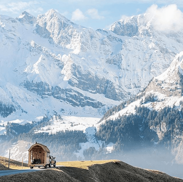
PHOTO: Claudio (check out his Instagram!)
Mountain Leisure
The last week we have been up a lot on the mountain. The sun was shining bright and the restaurants’ outside terraces were filled to the brim. The snowpack is solid and cold, the sun didn’t make a lot of difference on the north side (Titlis side). The snow is still great and the pistes are in fine condition. Brunni had some more sun exposure but managed to get through it without any severe damage.
Most definitely everything will be back to normal after tomorrow. The storm winds are picking up as we speak and it will start snowing in the village aswell as up on top tonight. 166 cm to be expected on Titlis (3024 m) and 93 cm at Trübsee on 1805m. Hopefully, it will stick to the ground. The weekend looks WHITE, which is both good and bad. First of all, it is GREAT, but second of all we probably won’t see where we are skiing. Take the good with the bad, and bring your good googles and light blue/white/contrast lenses if your traveling here in the near future.
The Patagonia Worn Wear truck was here over the weekend and stitched our old ski clothes back together, HURRAY! They also organized a ski movie night here at the hotel on Saturday night together with Protect Our Winters Switzerland. Great fun!
Hard Facts:
Snow depth Mountain (slope, 3.020m): 531 cm (new: 20 cm!)
Snow depth Location (1.050m): 5 cm
Snow condition: Powder, partially wet
Latest snowfall: Today!
Avalanche alert level: Significant.
Danger description
As a consequence of fresh snow and stormy weather snow drift accumulations have formed. They are lying on the unfavorable surface of an old snowpack on the west to north to east facing aspects. Avalanches can be released very easily or triggered naturally. As the day progresses danger level 4 (high) will be reached probably. Snowsport activities outside marked and open pistes call for extensive experience in the assessment of avalanche danger.
Full-depth avalanches
More full-depth avalanches are possible. This applies in all aspects below approximately 2200 m. Caution is to be exercised in areas with glide cracks.
From Tuesday evening until Wednesday evening the following amounts of snow will fall above 1500 m:
- Extreme west of Lower Valais, northern Alpine ridge, Prättigau, Silvretta, Samnaun: 30 to 50 cm; in the far west on the border to France, up to 70 cm
- Rest of the northern flank of the Alps, rest of Valais, rest of the Gotthard region, west of northern and central Grisons, rest of Lower Engadine, Jura: 15 to 30 cm, but 40 cm in some localities in Lower Valais.
- Elsewhere: smaller quantities, none in the far south.
Weather and conditions:
- http://www.bergfex.com/engelberg/schneebericht/
- https://www.meteoblue.com/de/wetter/vorhersage/woche/engelberg_schweiz_2660902
- http://www.slf.ch/schneeinfo/index_EN
- http://www.titlis.ch/de/titlis-gebiet/wetter


See full forecast from wepowder for the next 14 days here.
// Ski Lodge Team

