PHOTO: Elias Lundh
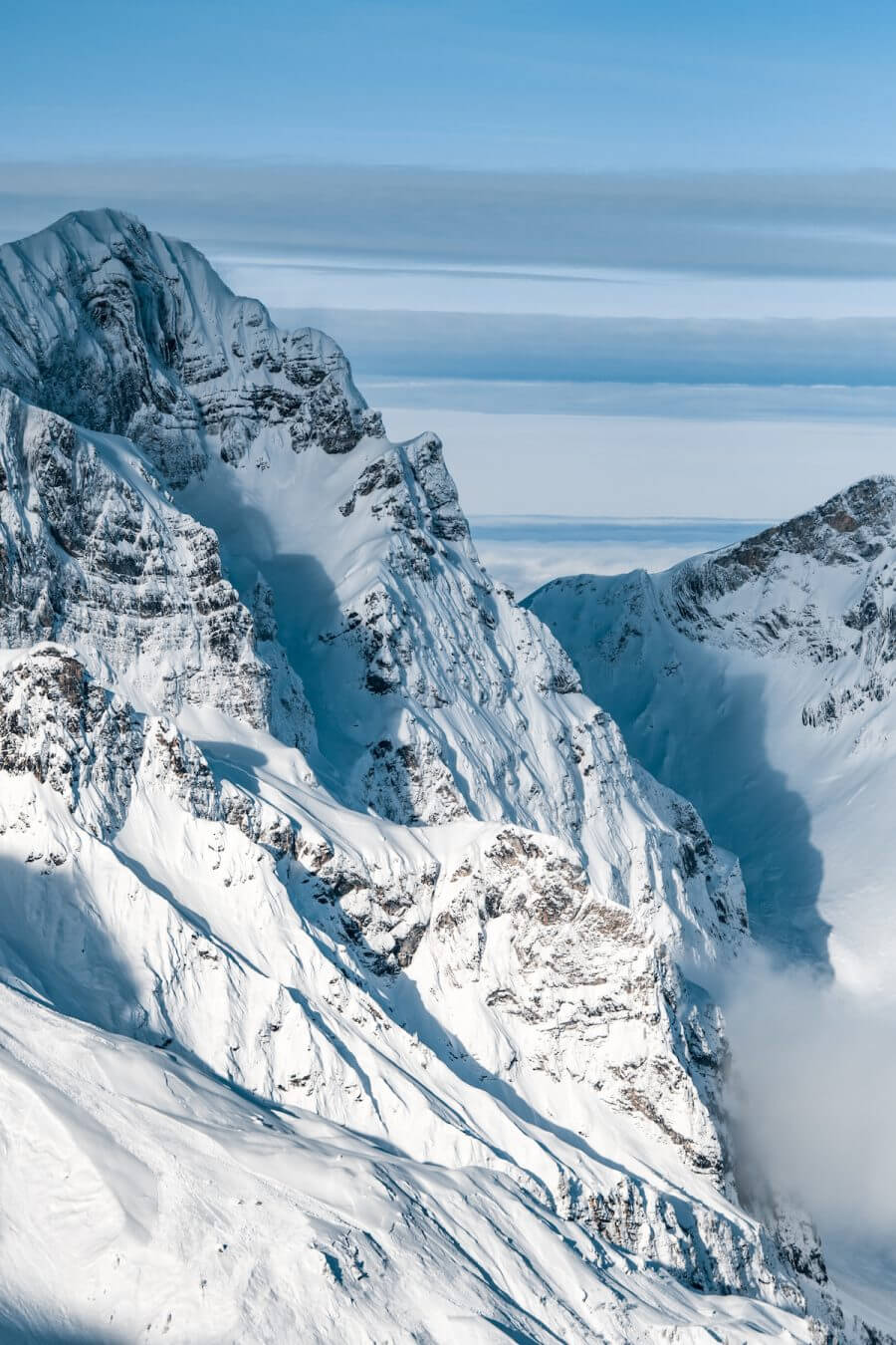
Still looking like we are going to get a refill.
The past week was sunny and even if the forecasts said it would be a small refill, the refill was shining with its absence. No one was complaining much since everyone enjoyed some spring sun instead, a happy contribute to a very cloudy January so far.
The weekends go by in a jiffy here at the Lodge and we are already preparing for the upcoming one. If you are interested in some fresh snow we hope to see you here Friday or Saturday morning, when the weather gods are on our side.
Go to our booking site or email the friendly faces at the reception to get the best rates!
Hard Facts:
Snow depth Mountain (slope, 3.020m): 625 cm
Snow depth Location (1.050m): 10 cm
Snow condition: Hard, partially hard
Latest snowfall: Monday 22nd
Avalanche alert level: Moderate
Danger description
Small and medium-sized full-depth avalanches are possible. They can be released at any time of day or night. Areas with glide cracks are to be avoided.
Old snow
Individual avalanche prone locations for dry avalanches are to be found in particular on very steep shady slopes.
Very steep shady slopes are to be traversed by snow sport participants one at a time. Even a small avalanche can sweep snow sport participants along and give rise to falls.
In some localities small snow drift accumulations will form.
Wind
The avalanche danger will increase over a wide area on Thursday and change very little on Friday. Fresh snow and snow drift accumulations represent the main danger. Individual gliding avalanches can still occur.
Weather and conditions:
- http://www.bergfex.com/engelberg/schneebericht/
- https://www.meteoblue.com/de/wetter/vorhersage/woche/engelberg_schweiz_2660902
- http://www.slf.ch/schneeinfo/index_EN
- http://www.titlis.ch/de/titlis-gebiet/wetter
https://www.instagram.com/p/BeiJShAlyYI/?taken-by=eliaslundh
https://www.instagram.com/p/BebBsnelppu/?taken-by=eliaslundh
https://www.instagram.com/p/Bek0iJiA_iD/?taken-by=skilodgeengelberg
// Ski Lodge Team

