Photo: Adam Klingeteg Skier: William Larsson, Fischer Ski Athlete.
INCOMING in Engelberg – Heaps of Snow
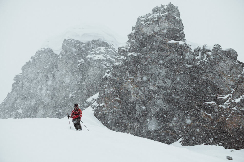
If you ask us, there is nothing better than stormy weather. Don’t get us wrong, we love bluebird powder days, but a storm comes with so many promises. Snow is falling and everything gets so cozy in the hotel. Some brave people go out and face the weather and some wait for it to settle with a game of backgammon and a hot chocolate. We all know what’s coming and are anticipating the best outcome, deep fluffy powder turns!
The crust that made our life miserable last weekend will hopefully be packed together and blown over by a light powder blanket. What we do not know yet is if the crust will really settle down or if it will be an unwanted surprise in the off-piste later this week. Time will tell.

Hard Facts:
Snow depth Mountain (slope, 3.020m): 335 cm (up 100cm in 10 days)
Snow depth Village Location (1.050m): 25 cm
Snow condition: Powder
Latest snowfall: Today!
Avalanche alert level: 4, HIGH!
10 km Cross-country tracks are open!
Snowpack – Stay Alert!
Observed weather on Tuesday in Engelberg and northen parts of the alps, 08.01.2019
From Monday afternoon until Tuesday afternoon the following amounts of snow fell above 1500 m:
- Central and eastern parts of the northern flank of the Alps: 10 to 20 cm
Weather forecast through Wednesday in Engelberg and the alps , 09.01.2019
- Eastern Bernese Alps, central and eastern parts of the northern flank of the Alps excluding the Prealps: 40 to 60 cm
- Rest of the northern flank of the Alps excluding Chablais, northern Valais, Bedretto, northern Grisons, Silvretta, Samnaun: 20 to 40 cm
- Chablais, southern Valais, central Grisons, Upper Engadine, Lower Engadine excluding Samnaun, Jura: 10 to 20 cm, but more in some localities
- Further south: smaller amounts or none
Temperature
Becoming increasingly cold to reach between -11 °C in the north and -8 °C in the south at midday at 2000 m
Wind
Thursday
In the west, the snowfall will ease as the day progresses. In the east, snow will continue to fall into the afternoon. The north to northeasterly wind will be strong. It will be quite sunny in the south.
The avalanche danger will remain highly critical in the regions exposed to heavier precipitation on the northern flank of the Alps, Engelberg, and in northern Grisons. The likelihood of natural avalanches will persist. In the other regions the avalanche danger will not change significantly.
Friday
The avalanche danger will decrease over a wide area. For snow sport participants venturing off piste, however, conditions will remain critical in particular on the northern flank of the Alps and in northern Grisons.
Weather and conditions:
- http://www.bergfex.com/engelberg/schneebericht/
- https://www.meteoblue.com/de/wetter/vorhersage/woche/engelberg_schweiz_2660902
- http://www.slf.ch/schneeinfo/index_EN
- https://www.slf.ch/en/avalanche-bulletin-and-snow-situation.html#avalanchedanger
- http://www.titlis.ch/de/titlis-gebiet/wetter
// Ski Lodge Team
