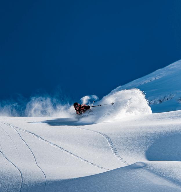
PHOTO: Elias Lundh
While we have been up to our necks in powder there is now time to rest our legs.
To be honest, we were all holding our breaths for the refill that was scheduled for Sunday afternoon, since the temperatures were having a laugh at us. Luckily for us it all went well and blower powder was on the menu on Monday, just two days ago (the picture above is photo proof). This week the sun will be fighting it out with the low clouds and hopefully bring us some goggle tans up on top. Who will win this battle only time will tell. We could be standing in a massive whiteout if we are unlucky, but it’s probably going to be some fog in the village, but bluebird on the mountain.. keep your fingers crossed..
The previous intense days with snorkel weather have come to an end this time around. But we just wait until next time and hope it will be in a near future. According to the weather forecast, we might have to wait for a couple of days, but we are quite alright with that for the time being.
Hard Facts:
Snow depth Mountain (slope, 3.020m): 642 cm
Snow depth Location (1.050m): 30 cm
Snow condition: powder, partially hard
Latest snowfall: Saturday (3cm today)
Avalanche alert level: moderate
Danger description
As a consequence of the Bise wind easily released snow drift accumulations will form. They are mostly small. The snow drift accumulations are to be found in particular adjacent to the ridge line and in gullies and bowls. They are to be avoided in particular in very steep terrain.
Wind
Outlook Saturday
Avalanche danger levels are not expected to change significantly.
Weather and conditions:
- http://www.bergfex.com/engelberg/schneebericht/
- https://www.meteoblue.com/de/wetter/vorhersage/woche/engelberg_schweiz_2660902
- http://www.slf.ch/schneeinfo/index_EN
- http://www.titlis.ch/de/titlis-gebiet/wetter
https://www.instagram.com/p/BfOobg4nB4w/?tagged=engelberg
// Ski Lodge Team

